RICHMOND, MISSOURI · MISSOURI PLS · SURVEYING SINCE 1983
Where the line actually is.
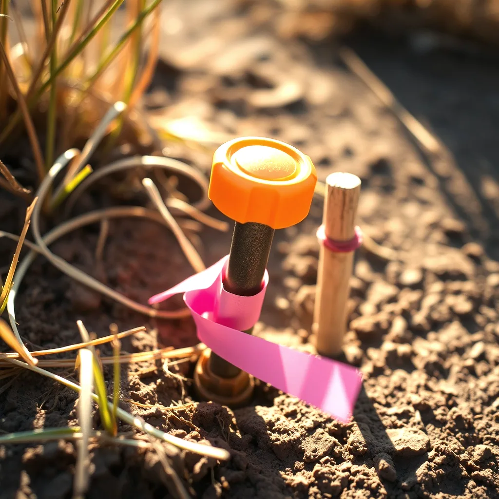
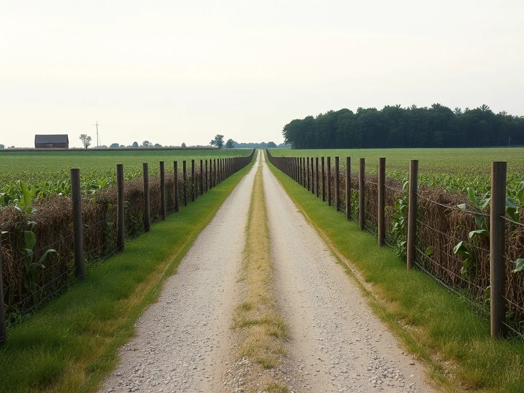
A deed says two hundred and ten feet. The fence says something else, and the neighbour has mowed to the fence since 1994. We go find the original corner, set new iron on it, and file a plat that holds up when somebody argues about it later.
- ESTABLISHED
- 1983Third generation, same office
- TYPICAL BOUNDARY
- 3–4 wksFrom signed order to sealed plat
- COUNTIES WORKED
- SixRay, Clay, Carroll, Lafayette, Caldwell, Clinton
- CORNERS RECOVERED
- 1868–Original GLO stones still control out here
What you actually receive
Every job ends in a document somebody else has to accept: a lender, a title company, a building department, a judge. These are the ones we seal, and what each is for.

| Boundary survey | Corners recovered or reset with capped iron, a sealed drawing showing bearings, distances, encroachments and the record calls we held. | 3–4 weeks |
|---|---|---|
| ALTA / NSPS land title survey | The commercial standard. Built to the current ALTA table with the Table A items your title commitment asks for, coordinated with the title company directly. | 4–6 weeks |
| Elevation certificate | FEMA form completed from field shots, for flood insurance rating or a letter of map amendment when the map has your house wrong. | 1–2 weeks |
| Topographic survey | One foot contours, spot elevations, utilities located, delivered as a drawing and as a surface file your engineer or architect can build on. | 2–3 weeks |
| Construction staking | Building corners, offsets, grade stakes and blue tops set from your approved plans, restaked as the site changes. | Scheduled |
| Lot split and subdivision plat | Drawn to the county or city subdivision regulations, taken through review, and recorded at the courthouse. | 6–12 weeks |
Field to filed
Most of a survey is not the day the truck is in your driveway. It is the research before and the drafting after, and that is why the honest answer to "how long" is three weeks and not three days.
-
Deed and record research
We pull your deed, the deeds of everyone touching you, the recorded plats and every prior survey on file at the courthouse. Half the boundary problems in this county are already visible at this stage.
-
Field recovery
Crew goes out and hunts the original monuments: stones, pipes, axles, a nail in a hedge post. Found evidence beats a measurement every time, so we look hard before we set anything new.
-
Measurement
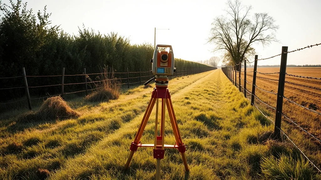
Total station and GNSS tied to the state plane coordinate system, closed traverse, checked back into itself. If it does not close, we go back out.
-
Resolution
The record calls and the found evidence rarely agree exactly. Deciding which controls is the professional judgement you are actually buying, and it is why a licence is required to sign the drawing.
-
Monumentation and plat
New capped iron set on every resolved corner, drawing sealed, copies to you, to your title company and to the county records where it belongs.
Where we work
Surveying is a local trade because the records are local. We know which drawer the 1970s plats are in at each of these courthouses, and that is worth more than a shorter drive.
- Ray County
- Clay County
- Carroll County
- Lafayette County
- Caldwell County
- Clinton County
Have these three things ready
You can order a survey in one phone call if you have these. Without them the first call turns into three, which is the most common reason a closing date slips.
Your deed
A copy, or the book and page number. The legal description on it is where every survey starts, and the address is not a substitute.
Why you need it
Closing, a fence, a building permit, a flood insurance rating, a dispute. Each one points at a different deliverable and a different price.
Your date
The real one. If the closing is the eighteenth, say the eighteenth, and we will tell you honestly whether it is possible.
12 N Camden St, Richmond, MO 64085 · Mon–Thu 7:30–4:30, Fri 7:30–noon